Dr Elyse Allender (Class of 2004) – Assistant Director, Space Programs at the Australian Space Agency
Posted on February 28, 2024
Dr Elyse Allender (2004) is an Assistant Director, Space Programs at the Australian Space Agency. Here she describes the path she took since leaving The Friends’ School – a journey that has taken her skills to Mars.
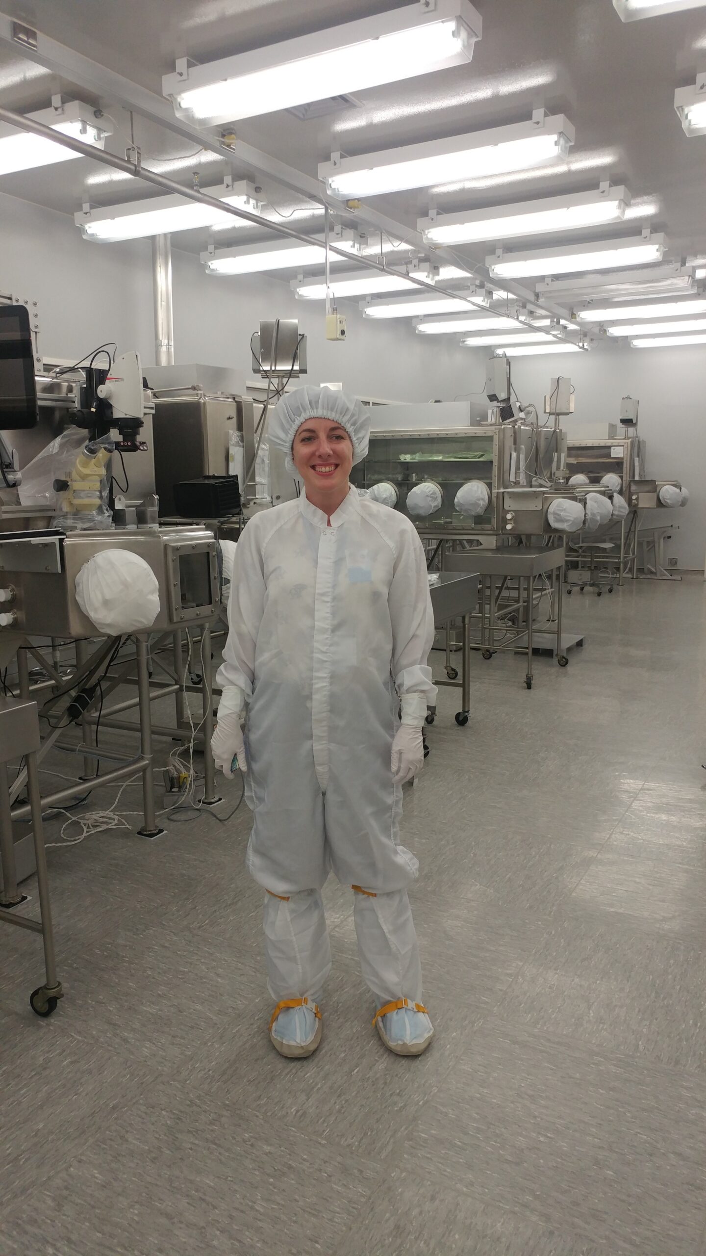
The final frontier
Working in the space sector from Tasmania is something I never thought possible before my PhD. There are more and more opportunities in Australia. Students tend to think that the only way into a career in space is to be great at maths and physics. This is absolutely not the case. There’s aerospace engineering, astrophysics and astronomy but there are also career paths in space for psychology (consider how astronaut teams are put together), art and design (for incredible scientific visualisation and communications), law (particularly relating to assets in space, international liabilities, insurance), geology (for characterising planetary surfaces and comparing them to what we see on Earth), computer science (for robotics and artificial intelligence, as well as writing mission software, operations, and analysis tools) and medicine (for studying the effects of spaceflight and radiation on humans, developing new medicines in microgravity, delivering remote care). If you have an interest in space, then there will be an opportunity for you regardless of the subjects you enjoy at school. Space is for everyone.
My start in spatial science
Before the final exams at Friends’, my teacher Sandra Brooks advised me that geomatics was a good combination of two subjects I really enjoyed – computer science and geography. I went to an open day at the University of Tasmania and the staff thoroughly convinced me to enrol in Geomatics (Surveying and Spatial Science) by showcasing all their exciting projects with applications in forestry, sea surface monitoring, satellite calibration and Antarctic ice monitoring.
Taking a year off after my undergraduate degree allowed me to think more about career direction. Instead of mapping the Earth, I wanted to map other planets.
To Mars, the Moon and WA
I returned to UTAS to do Honours, focusing on analysing images of gullies at Hale crater from the Mars Reconnaissance Orbiter spacecraft. Minerals that can only form in the presence of water have the highest chance of preserving biosignatures – evidence of past life – so space missions are particularly interested in exploring areas that contain these minerals.
My research broadened during my PhD at the University of Cincinnati where I developed an automated method of mapping minerals within hundreds of gullies across the surface of Mars. During that time, I was selected for a graduate exploration internship at the Lunar and Planetary Institute in Houston, Texas; I completed a project with an international team where we focused on exploring the south polar region of the Moon. I was lucky enough to visit Johnson Space Center and hold a piece of the Moon – one of the samples from the Apollo era.
After my PhD I moved to Scotland, where I was a Research Fellow at the University of St Andrews. There I worked on the European Space Agency (ESA) ExoMars mission as a member of the Panoramic Camera Science Team. PanCam is essentially the eyes of the Rosalind Franklin rover; it’s able to take images in the visible and near-infrared, plus it’s a stereo-camera that can create 3D imagery. I worked to develop software tools that would analyse PanCam’s images and help other scientists characterise the Mars environment so the rover would know where to drive to next and if there were rocks of interest to sample.
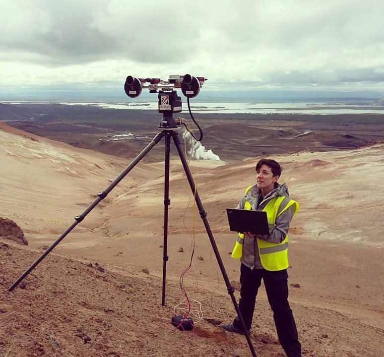
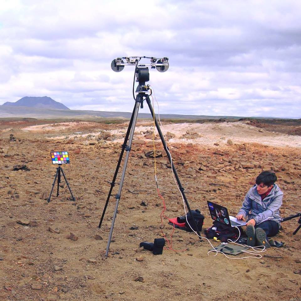
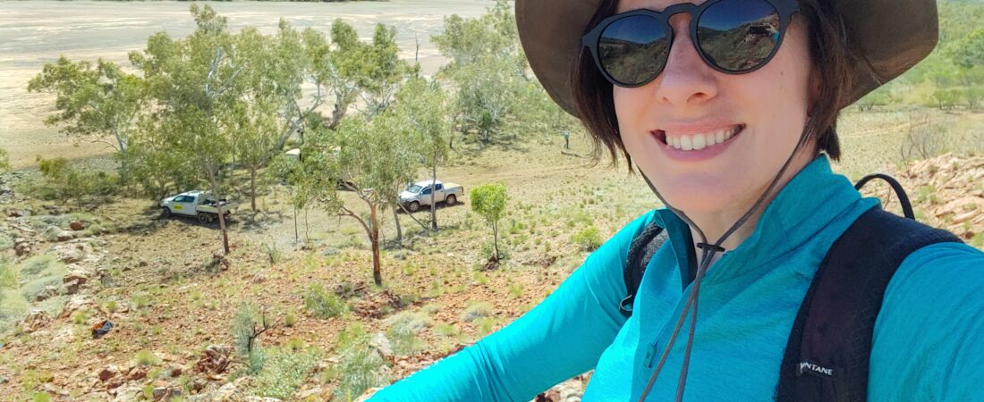
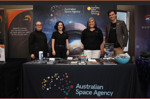
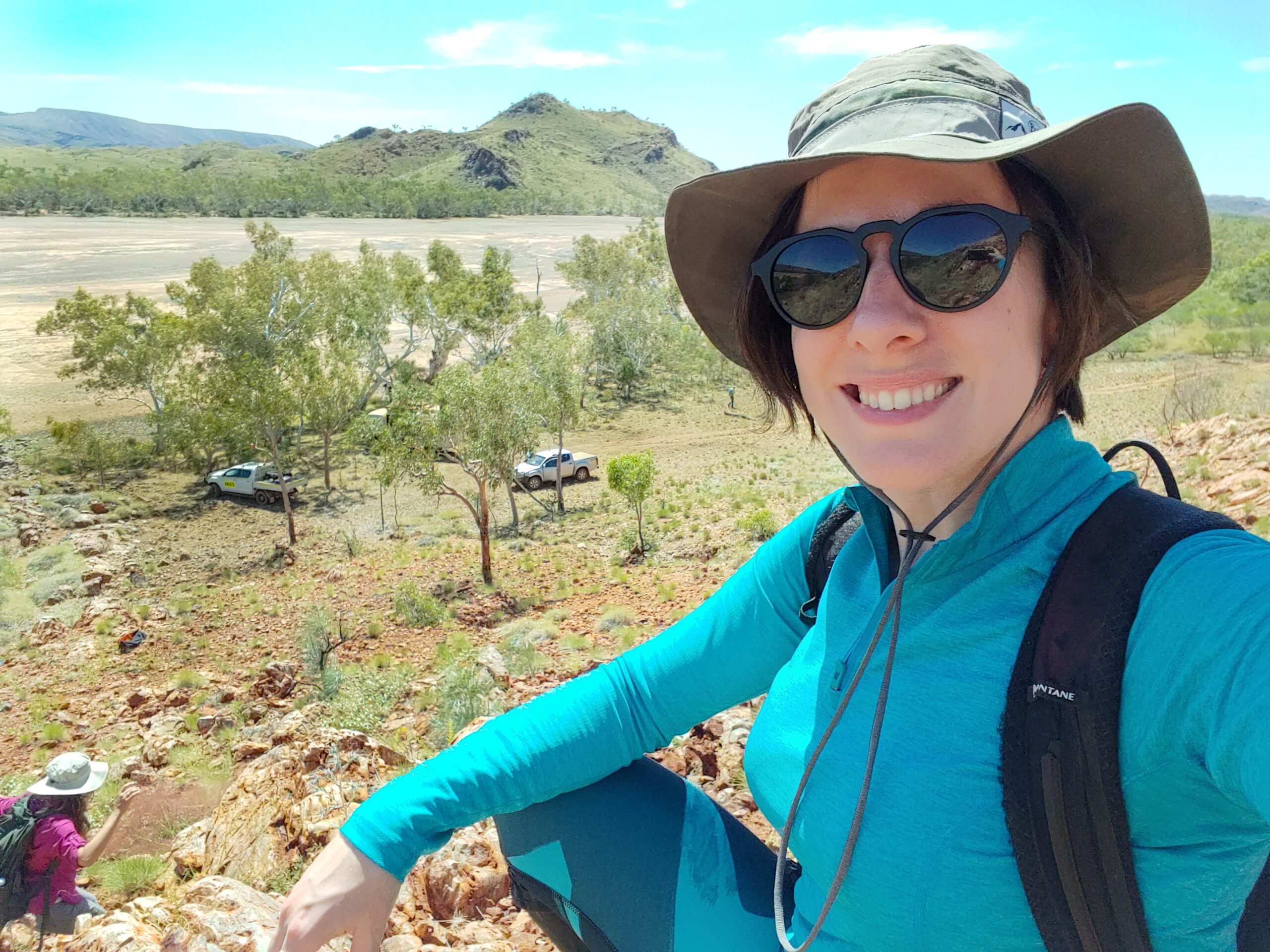
I got to take the PanCam emulators to fantastic Mars analogue field sites in Iceland and Utah [See Picture Perfect]. I also went on a field trip to the Pilbara region in Western Australia alongside the ExoMars and NASA Mars2020 teams. Evidence of some of the most ancient life on Earth is preserved in the form of fossilised stromatolites; they are up to 3.4 billion years old and right here in Australia. The landing site selected for the ExoMars rover contains rocks that are between 3.6 and 4 billion years old so they’re comparable, in geological time.
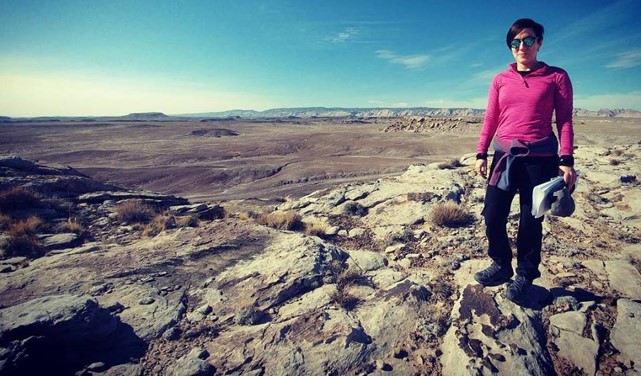
Bringing Space home
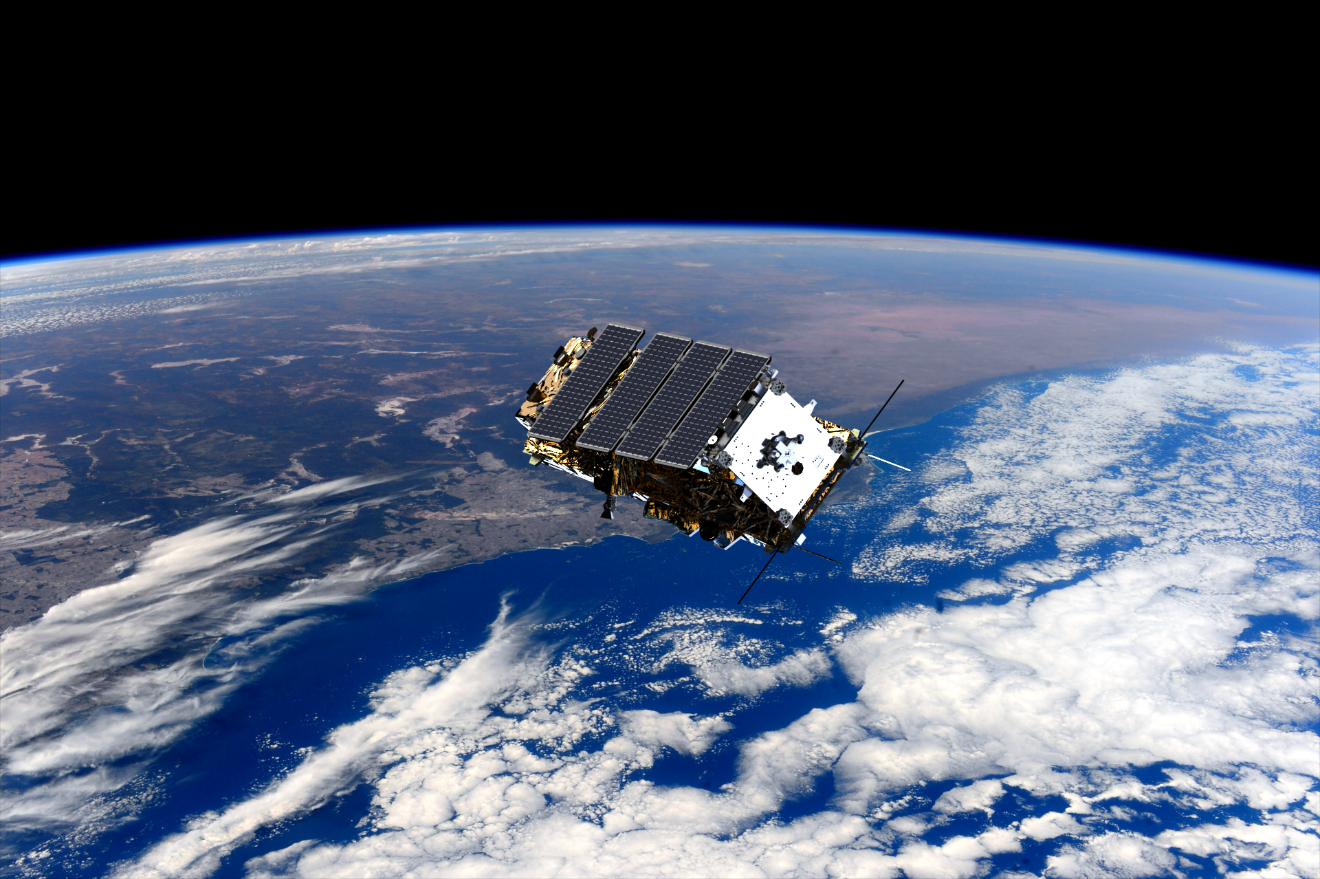
In 2021, with the covid pandemic in full swing, and the ExoMars mission delayed, I moved back to Australia. At first, I had a short contract for CSIRO to task the NOVASAR-1 satellite to take images across Australia with the team at the NOVASAR-1 National Facility. Then, in 2022, I began my role as an Assistant Director, Space Programs in the National Space Capability, Technology and Programs branch at the Australian Space Agency. It’s fantastic to be able to work on space programs from Hobart.
I’m helping to lead our Moon to Mars Trailblazer program – Australia’s first mission to the Moon in partnership with NASA. It supports NASA’s Artemis program, which aims to establish a sustainable human presence on the Moon. Two Australian consortia are competing to design, build and operate Australia’s first Moon rover, called the Roo-ver, with the successful consortium to be announced this year. The rover will scoop up lunar regolith – fine rocks and dust – and deliver it to a NASA in-situ resource utilisation facility. It’s a great example of international cooperation between assets on the Moon. The operational activities the Roo-ver will perform are called foundation services. Other foundation services include tasks like monitoring and inspection, logistics, civil construction and remote maintenance – all activities that support space exploration missions to build towards a sustained, off-world presence.
Picture perfect
The PanCam emulator looks slightly different to the real PanCam but works in just the same way. PanCam is made up of two cameras. The multicoloured square on its own little tripod is a calibration target used for correcting colours for the camera. When on the Rosalind Franklin rover on Mars, PanCam will be at the very top of its mast, at just over two metres high. On Mars, the calibration target would be located on top of the main body of the rover. The camera will look down and take a calibration image before taking any other pictures. That way, scientists can know the colours are appearing as they would on Earth.
